
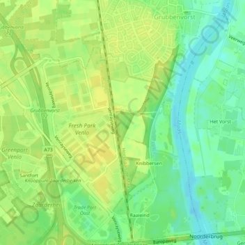
Sint Jan Sleutelbergbos topographic map
Interactive map
Click on the map to display elevation.
About this map
Name: Sint Jan Sleutelbergbos topographic map, elevation, terrain.
Average elevation: 23 m
Minimum elevation: 11 m
Maximum elevation: 30 m
Other topographic maps
Click on a map to view its topography, its elevation and its terrain.
visvijver
Nederland > Limburg > Horst aan de Maas
visvijver, Kronenbergweg, Kronenberg, Horst aan de Maas, Limburg, Nederland, 5976NV, Nederland
Average elevation: 32 m