
國光里 topographic map
Interactive map
Click on the map to display elevation.
About this map
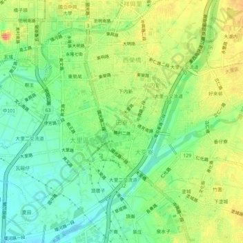
Name: 國光里 topographic map, elevation, terrain.
Location: 國光里, 田寮, 大里區, Taichung, 41284, Taiwan (24.08233 120.66550 24.12233 120.70550)
Average elevation: 55 m
Minimum elevation: 31 m
Maximum elevation: 84 m