
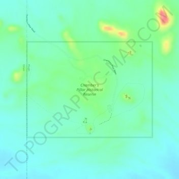
Chamber's Pillar Historical Reserve topographic map
Interactive map
Click on the map to display elevation.
About this map
Name: Chamber's Pillar Historical Reserve topographic map, elevation, terrain.
Average elevation: 444 m
Minimum elevation: 421 m
Maximum elevation: 503 m
Other topographic maps
Click on a map to view its topography, its elevation and its terrain.
Chambers Pillar
Chambers Pillar, Chambers Pillar Road, Titjikala, Northern Territory, Australia
Average elevation: 438 m