
Islas del Cisne topographic map
Interactive map
Click on the map to display elevation.
About this map
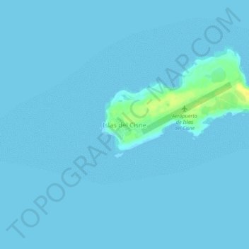
Name: Islas del Cisne topographic map, elevation, terrain.
Location: Islas del Cisne, Bay Islands, Honduras (17.38551 -83.96161 17.42551 -83.92161)
Average elevation: 1 m
Minimum elevation: 0 m
Maximum elevation: 20 m
Other topographic maps
Click on a map to view its topography, its elevation and its terrain.