
Litchfield topographic map
Interactive map
Click on the map to display elevation.
About this map
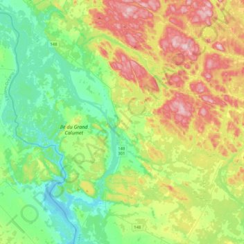
Name: Litchfield topographic map, elevation, terrain.
Location: Litchfield, Pontiac, Outaouais, Québec, J0H 1H0, Canada (45.60689 -76.69690 45.89040 -76.47626)
Average elevation: 174 m
Minimum elevation: 85 m
Maximum elevation: 341 m