
Peneda topographic map
Interactive map
Click on the map to display elevation.
About this map
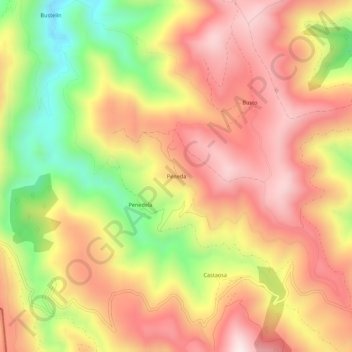
Name: Peneda topographic map, elevation, terrain.
Location: Peneda, Ibias, Asturias, 33810, España (43.02762 -6.93943 43.06762 -6.89943)
Average elevation: 651 m
Minimum elevation: 285 m
Maximum elevation: 918 m
Other topographic maps
Click on a map to view its topography, its elevation and its terrain.
San Antolín de Ibias
San Antolín de Ibias, Ibias, Asturias, España
Average elevation: 550 m