
Egense topographic map
Interactive map
Click on the map to display elevation.
About this map
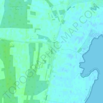
Name: Egense topographic map, elevation, terrain.
Location: Egense, Aalborg Kommune, Noord-Jutland, Denemarken (56.95887 10.26584 56.96515 10.27306)
Average elevation: 3 m
Minimum elevation: -1 m
Maximum elevation: 9 m