
Pulau Tatas topographic map
Interactive map
Click on the map to display elevation.
About this map
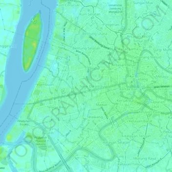
Name: Pulau Tatas topographic map, elevation, terrain.
Average elevation: 5 m
Minimum elevation: -1 m
Maximum elevation: 14 m
Other topographic maps
Click on a map to view its topography, its elevation and its terrain.
Teluk Dalam
Indonesia > South Kalimantan > Banjarmasin
Teluk Dalam, Central Banjarmasin, Banjarmasin, South Kalimantan, Kalimantan, 70117, Indonesia
Average elevation: 6 m