
Seth topographic map
Interactive map
Click on the map to display elevation.
About this map
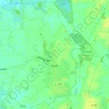
Name: Seth topographic map, elevation, terrain.
Location: Seth, Itzstedt, Kreis Segeberg, Schleswig-Holstein, Germany (53.83567 10.13278 53.87069 10.19405)
Average elevation: 33 m
Minimum elevation: 25 m
Maximum elevation: 43 m