
Thank you for supporting this site ❤️
Make a donation
Make a donation
Gear up for your next adventure:
As an Amazon Associate, this site earns from qualifying purchases at no extra cost to you.
Wrightstown topographic map
Click on the map to display elevation.
Thank you for supporting this site ❤️
Make a donation
Make a donation
Gear up for your next adventure:
As an Amazon Associate, this site earns from qualifying purchases at no extra cost to you.
About this map
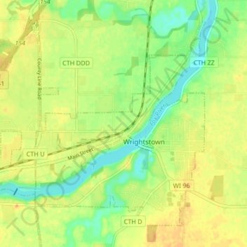
Name: Wrightstown topographic map, elevation, terrain.
Location: Wrightstown, Brown County, Wisconsin, 54180, United States (44.30976 -88.21341 44.34951 -88.14605)
Average elevation: 199 m
Minimum elevation: 181 m
Maximum elevation: 214 m
Thank you for supporting this site ❤️
Make a donation
Make a donation
Gear up for your next adventure:
As an Amazon Associate, this site earns from qualifying purchases at no extra cost to you.