
Tarso topographic map
Interactive map
Click on the map to display elevation.
About this map
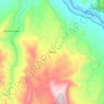
Name: Tarso topographic map, elevation, terrain.
Location: Tarso, Suroeste, Antioquia, Colombia (5.82406 -75.86179 5.90406 -75.78179)
Average elevation: 1,201 m
Minimum elevation: 533 m
Maximum elevation: 2,135 m