
Schoor topographic map
Interactive map
Click on the map to display elevation.
About this map
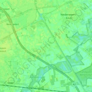
Name: Schoor topographic map, elevation, terrain.
Location: Schoor, Nederweert, Limburg, Nederland, 6031, Nederland (51.24395 5.74186 51.28395 5.78186)
Average elevation: 33 m
Minimum elevation: 26 m
Maximum elevation: 36 m