
Gulp topographic map
Interactive map
Click on the map to display elevation.
About this map
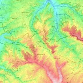
Name: Gulp topographic map, elevation, terrain.
Location: Gulp, Blieberg, Voeren, Verviers, Luik, Wallonië, 3793, België (50.68250 5.85469 50.82019 5.92562)
Average elevation: 191 m
Minimum elevation: 91 m
Maximum elevation: 334 m