
Coolum Creek topographic map
Interactive map
Click on the map to display elevation.
About this map
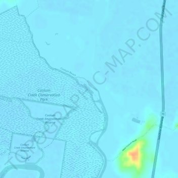
Name: Coolum Creek topographic map, elevation, terrain.
Location: Coolum Creek, Maroochydore, Queensland, Australia (-26.56029 153.05928 -26.55663 153.06359)
Average elevation: 3 m
Minimum elevation: -2 m
Maximum elevation: 42 m
Queensland trails, hiking, mountain biking, running and outdoor activities
Other topographic maps
Click on a map to view its topography, its elevation and its terrain.