
Townsvile topographic map
Interactive map
Click on the map to display elevation.
About this map
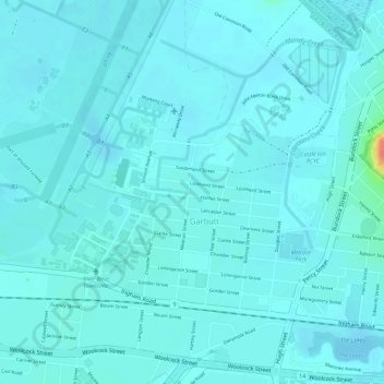
Name: Townsvile topographic map, elevation, terrain.
Location: Townsvile, Garbutt, Townsville, Queensland, Australia (-19.25785 146.77555 -19.25738 146.77605)
Average elevation: 7 m
Minimum elevation: -2 m
Maximum elevation: 51 m
Queensland trails, hiking, mountain biking, running and outdoor activities
Other topographic maps
Click on a map to view its topography, its elevation and its terrain.