
Moura topographic map
Interactive map
Click on the map to display elevation.
About this map
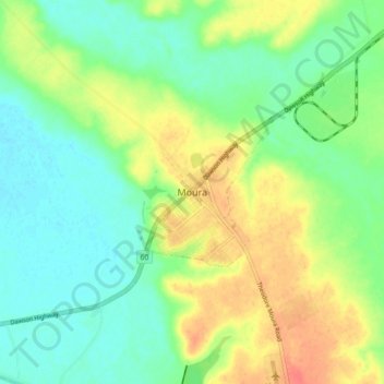
Name: Moura topographic map, elevation, terrain.
Location: Moura, Queensland, 4718, Australia (-24.60740 149.93466 -24.52740 150.01466)
Average elevation: 125 m
Minimum elevation: 106 m
Maximum elevation: 155 m
Queensland trails, hiking, mountain biking, running and outdoor activities