
Mount Joyal topographic map
Interactive map
Click on the map to display elevation.
About this map
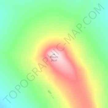
Name: Mount Joyal topographic map, elevation, terrain.
Location: Mount Joyal, Yukon, Canada (66.62046 -136.80151 66.62056 -136.80141)
Average elevation: 682 m
Minimum elevation: 534 m
Maximum elevation: 925 m
Other topographic maps
Click on a map to view its topography, its elevation and its terrain.