
Tibrogargan Creek topographic map
Interactive map
Click on the map to display elevation.
About this map
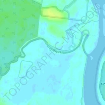
Name: Tibrogargan Creek topographic map, elevation, terrain.
Location: Tibrogargan Creek, Caboolture, Queensland, 4510, Australia (-26.92979 153.04352 -26.91825 153.06984)
Average elevation: 3 m
Minimum elevation: -1 m
Maximum elevation: 14 m
Queensland trails, hiking, mountain biking, running and outdoor activities
Other topographic maps
Click on a map to view its topography, its elevation and its terrain.