
Gheerulla topographic map
Interactive map
Click on the map to display elevation.
About this map
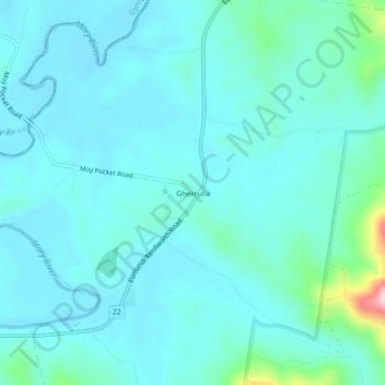
Name: Gheerulla topographic map, elevation, terrain.
Location: Gheerulla, Queensland, Australia (-26.57378 152.75471 -26.53378 152.79471)
Average elevation: 115 m
Minimum elevation: 76 m
Maximum elevation: 368 m
Queensland trails, hiking, mountain biking, running and outdoor activities