
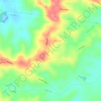
Ilkley topographic map
Interactive map
Click on the map to display elevation.
About this map
Name: Ilkley topographic map, elevation, terrain.
Location: Ilkley, Maroochydore, Queensland, 4554, Australia (-26.74167 152.98278 -26.72167 153.00278)
Average elevation: 54 m
Minimum elevation: 14 m
Maximum elevation: 105 m
Queensland trails, hiking, mountain biking, running and outdoor activities
Other topographic maps
Click on a map to view its topography, its elevation and its terrain.