
Surat topographic map
Interactive map
Click on the map to display elevation.
About this map
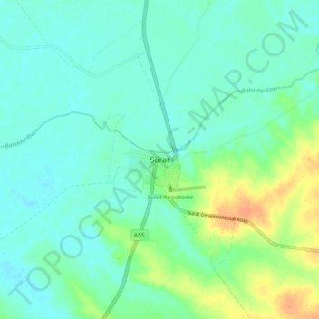
Name: Surat topographic map, elevation, terrain.
Location: Surat, Queensland, Australia (-27.19216 149.02889 -27.11216 149.10889)
Average elevation: 245 m
Minimum elevation: 235 m
Maximum elevation: 270 m
Queensland trails, hiking, mountain biking, running and outdoor activities