
Flaxton topographic map
Interactive map
Click on the map to display elevation.
About this map
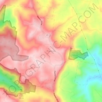
Name: Flaxton topographic map, elevation, terrain.
Location: Flaxton, Sunshine Coast Regional, Queensland, Australia (-26.67736 152.85820 -26.63736 152.89820)
Average elevation: 302 m
Minimum elevation: 89 m
Maximum elevation: 433 m
Queensland trails, hiking, mountain biking, running and outdoor activities