
Julia Creek topographic map
Interactive map
Click on the map to display elevation.
About this map
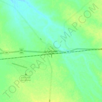
Name: Julia Creek topographic map, elevation, terrain.
Location: Julia Creek, Queensland, 4823, Australia (-20.69685 141.70505 -20.61685 141.78505)
Average elevation: 124 m
Minimum elevation: 116 m
Maximum elevation: 131 m
Queensland trails, hiking, mountain biking, running and outdoor activities