Geolocate

Tamborine topographic map

Interactive map

Click on the map to display elevation.

About this map

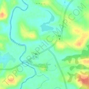
Name: Tamborine topographic map, elevation, terrain.

Location: Tamborine, Gold Coast, Queensland, 4270, Australia (-27.91246 153.09957 -27.89246 153.11957)

Average elevation: 50 m

Minimum elevation: 33 m

Maximum elevation: 79 m

Queensland trails, hiking, mountain biking, running and outdoor activities

Other topographic maps

Click on a map to view its topography, its elevation and its terrain.

Reedy Creek

Australia > Queensland > Gold Coast

Average elevation: 16 m

Coomera River

Australia > Queensland > Gold Coast

Average elevation: 563 m

Kingsholme

Australia > Queensland > Gold Coast

Average elevation: 127 m

Araucaria Forest

Australia > Queensland > Gold Coast

Average elevation: 6 m

Reedy Creek

Australia > Queensland > Gold Coast

Average elevation: 25 m

Nerang River

Australia > Queensland > Gold Coast

Average elevation: 492 m

Reedy Creek

Australia > Queensland > Gold Coast

Average elevation: 40 m