
Tara topographic map
Interactive map
Click on the map to display elevation.
About this map
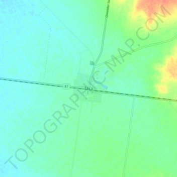
Name: Tara topographic map, elevation, terrain.
Location: Tara, Western Downs Regional, Queensland, Australia (-27.31693 150.41696 -27.23693 150.49696)
Average elevation: 314 m
Minimum elevation: 303 m
Maximum elevation: 345 m
Queensland trails, hiking, mountain biking, running and outdoor activities