
Cooroibah topographic map
Interactive map
Click on the map to display elevation.
About this map
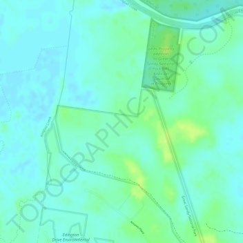
Name: Cooroibah topographic map, elevation, terrain.
Location: Cooroibah, Boreen Point, Queensland, Australia (-26.34195 152.99111 -26.32195 153.01111)
Average elevation: 6 m
Minimum elevation: -1 m
Maximum elevation: 16 m
Queensland trails, hiking, mountain biking, running and outdoor activities
Other topographic maps
Click on a map to view its topography, its elevation and its terrain.