
Compatsch topographic map
Interactive map
Click on the map to display elevation.
About this map
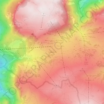
Name: Compatsch topographic map, elevation, terrain.
Average elevation: 1,859 m
Minimum elevation: 1,295 m
Maximum elevation: 2,127 m
Other topographic maps
Click on a map to view its topography, its elevation and its terrain.
Seis am Schlern
Italien > Trentino-Südtirol > Bozen > Kastelruth > Seis am Schlern
Seis am Schlern, Kastelruth, Salten-Schlern, Bozen, Trentino-Südtirol, Italien
Average elevation: 1,211 m