
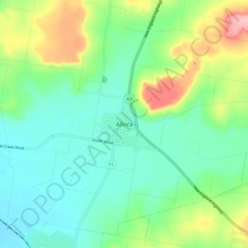
Allora topographic map
Interactive map
Click on the map to display elevation.
About this map
Name: Allora topographic map, elevation, terrain.
Location: Allora, Queensland, 4362, Australia (-28.07416 151.94326 -27.99416 152.02326)
Average elevation: 496 m
Minimum elevation: 452 m
Maximum elevation: 599 m
Queensland trails, hiking, mountain biking, running and outdoor activities
Other topographic maps
Click on a map to view its topography, its elevation and its terrain.