
Eungella Dam topographic map
Interactive map
Click on the map to display elevation.
About this map
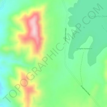
Name: Eungella Dam topographic map, elevation, terrain.
Location: Eungella Dam, Eungella Homestead, Queensland, Australia (-21.18694 148.38083 -21.16694 148.40083)
Average elevation: 599 m
Minimum elevation: 497 m
Maximum elevation: 764 m
Other topographic maps
Click on a map to view its topography, its elevation and its terrain.
Eungella Dam
Australia > Queensland > Eungella Homestead
Eungella Dam, Eungella Dam Road, Eungella Homestead, Queensland, Australia
Average elevation: 643 m