
Witheren topographic map
Interactive map
Click on the map to display elevation.
About this map
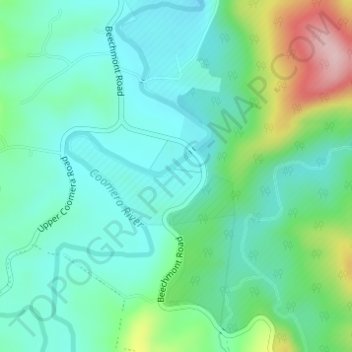
Name: Witheren topographic map, elevation, terrain.
Location: Witheren, Canungra, Queensland, 4275, Australia (-28.06066 153.17771 -28.04066 153.19771)
Average elevation: 151 m
Minimum elevation: 94 m
Maximum elevation: 319 m
Other topographic maps
Click on a map to view its topography, its elevation and its terrain.
Canungra
Australia > Queensland > Canungra
Canungra, Scenic Rim Regional, Queensland, 4275, Australia
Average elevation: 217 m