
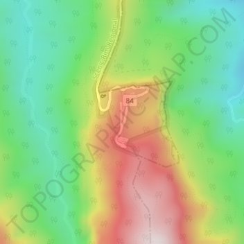
Binna Burra topographic map
Interactive map
Click on the map to display elevation.
About this map
Name: Binna Burra topographic map, elevation, terrain.
Location: Binna Burra, Gold Coast, Queensland, Australia (-28.20617 153.17719 -28.18617 153.19719)
Average elevation: 535 m
Minimum elevation: 267 m
Maximum elevation: 934 m
Queensland trails, hiking, mountain biking, running and outdoor activities
Other topographic maps
Click on a map to view its topography, its elevation and its terrain.