
Eudlo Creek National Park topographic map
Interactive map
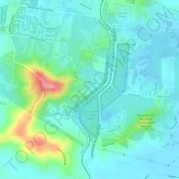
Click on the map to display elevation.
About this map
Name: Eudlo Creek National Park topographic map, elevation, terrain.
Average elevation: 41 m
Minimum elevation: 16 m
Maximum elevation: 125 m
Other topographic maps
Click on a map to view its topography, its elevation and its terrain.
Eudlo
Australia > Queensland > Eudlo
Eudlo, Sunshine Coast Regional, Queensland, 4554, Australia
Average elevation: 54 m