
Hatton Vale topographic map
Interactive map
Click on the map to display elevation.
About this map
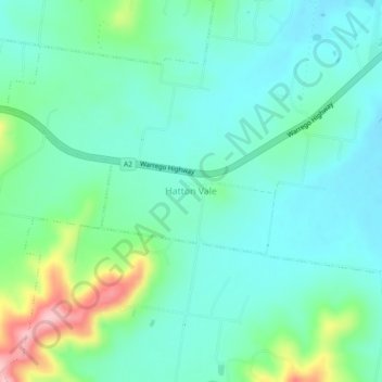
Name: Hatton Vale topographic map, elevation, terrain.
Location: Hatton Vale, Queensland, 4341, Australia (-27.58907 152.43941 -27.54907 152.47941)
Average elevation: 120 m
Minimum elevation: 78 m
Maximum elevation: 256 m
Queensland trails, hiking, mountain biking, running and outdoor activities