
Bollier topographic map
Interactive map
Click on the map to display elevation.
About this map
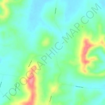
Name: Bollier topographic map, elevation, terrain.
Location: Bollier, Brooloo, Queensland, Australia (-26.46833 152.72056 -26.44833 152.74056)
Average elevation: 108 m
Minimum elevation: 74 m
Maximum elevation: 181 m