
Sula Islands topographic map
Interactive map
Click on the map to display elevation.
About this map
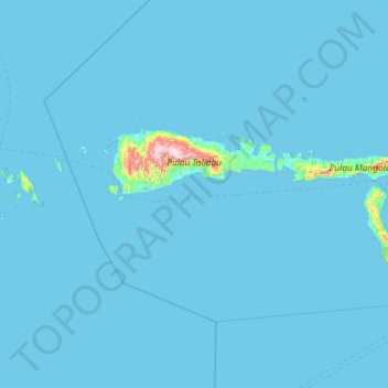
Name: Sula Islands topographic map, elevation, terrain.
Location: Sula Islands, North Maluku, Indonesia (-2.47727 124.14421 -1.57805 126.48680)
Average elevation: 17 m
Minimum elevation: 0 m
Maximum elevation: 1,355 m
Other topographic maps
Click on a map to view its topography, its elevation and its terrain.