
Glenwood topographic map
Interactive map
Click on the map to display elevation.
About this map
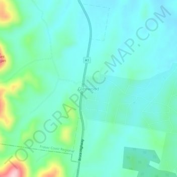
Name: Glenwood topographic map, elevation, terrain.
Location: Glenwood, Fraser Coast Regional, Queensland, Australia (-25.95281 152.58468 -25.91281 152.62468)
Average elevation: 93 m
Minimum elevation: 43 m
Maximum elevation: 291 m
Queensland trails, hiking, mountain biking, running and outdoor activities