
Sandgate topographic map
Interactive map
Click on the map to display elevation.
About this map
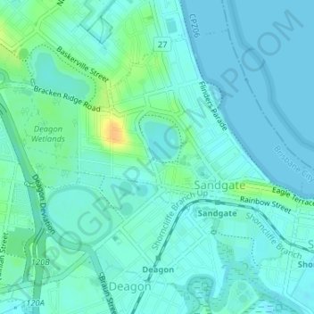
Name: Sandgate topographic map, elevation, terrain.
Location: Sandgate, Brisbane City, Queensland, 4017, Australia (-27.32975 153.04620 -27.30650 153.07850)
Average elevation: 6 m
Minimum elevation: 0 m
Maximum elevation: 28 m
Queensland trails, hiking, mountain biking, running and outdoor activities
Other topographic maps
Click on a map to view its topography, its elevation and its terrain.