
Chum Creek topographic map
Interactive map
Click on the map to display elevation.
About this map
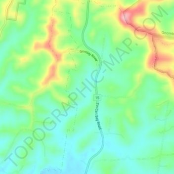
Name: Chum Creek topographic map, elevation, terrain.
Location: Chum Creek, Gympie, Queensland, Australia (-26.14726 152.73199 -26.11100 152.74392)
Average elevation: 125 m
Minimum elevation: 73 m
Maximum elevation: 230 m
Queensland trails, hiking, mountain biking, running and outdoor activities
Other topographic maps
Click on a map to view its topography, its elevation and its terrain.