
Dulong topographic map
Interactive map
Click on the map to display elevation.
About this map
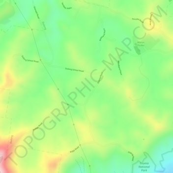
Name: Dulong topographic map, elevation, terrain.
Location: Dulong, Flaxton, Queensland, Australia (-26.65000 152.88278 -26.63000 152.90278)
Average elevation: 273 m
Minimum elevation: 167 m
Maximum elevation: 410 m
Queensland trails, hiking, mountain biking, running and outdoor activities