
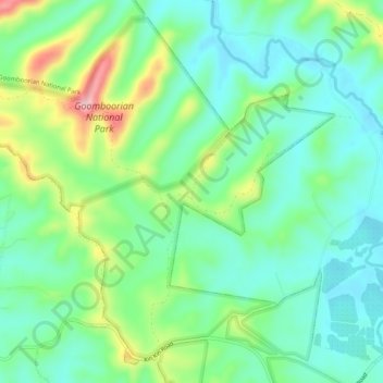
Coes Creek topographic map
Interactive map
Click on the map to display elevation.
About this map
Name: Coes Creek topographic map, elevation, terrain.
Location: Coes Creek, Gympie, Queensland, Australia (-26.14349 152.75476 -26.11966 152.80623)
Average elevation: 128 m
Minimum elevation: 72 m
Maximum elevation: 259 m
Queensland trails, hiking, mountain biking, running and outdoor activities
Other topographic maps
Click on a map to view its topography, its elevation and its terrain.