
Ridgewood topographic map
Interactive map
Click on the map to display elevation.
About this map
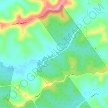
Name: Ridgewood topographic map, elevation, terrain.
Location: Ridgewood, Gympie, Queensland, Australia (-26.47111 152.82360 -26.45111 152.84360)
Average elevation: 141 m
Minimum elevation: 95 m
Maximum elevation: 228 m
Queensland trails, hiking, mountain biking, running and outdoor activities
Other topographic maps
Click on a map to view its topography, its elevation and its terrain.