
Hull Heads topographic map
Interactive map
Click on the map to display elevation.
About this map
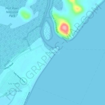
Name: Hull Heads topographic map, elevation, terrain.
Location: Hull Heads, Queensland, Australia (-18.01575 146.05047 -17.97575 146.09047)
Average elevation: 5 m
Minimum elevation: -2 m
Maximum elevation: 115 m
Other topographic maps
Click on a map to view its topography, its elevation and its terrain.
Hull River National Park
Australia > Queensland > Hull Heads
Hull River National Park, Lentini Road, Hull Heads, Queensland, Australia
Average elevation: 14 m