
Kybong topographic map
Interactive map
Click on the map to display elevation.
About this map
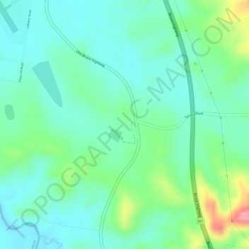
Name: Kybong topographic map, elevation, terrain.
Location: Kybong, Gympie, Queensland, Australia (-26.31541 152.70981 -26.29541 152.72981)
Average elevation: 82 m
Minimum elevation: 51 m
Maximum elevation: 156 m
Queensland trails, hiking, mountain biking, running and outdoor activities
Other topographic maps
Click on a map to view its topography, its elevation and its terrain.