
Forrest Beach topographic map
Click on the map to display elevation.
About this map
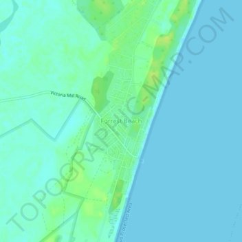
Name: Forrest Beach topographic map, elevation, terrain.
Location: Forrest Beach, Hinchinbrook Shire, Queensland, Australia (-18.72530 146.27600 -18.68530 146.31600)
Average elevation: 4 m
Minimum elevation: 0 m
Maximum elevation: 15 m
Queensland trails, hiking, mountain biking, running and outdoor activities
Other topographic maps
Click on a map to view its topography, its elevation and its terrain.