
Tarzali topographic map
Interactive map
Click on the map to display elevation.
About this map
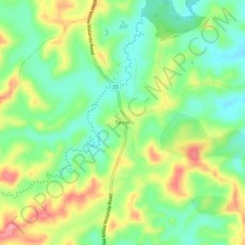
Name: Tarzali topographic map, elevation, terrain.
Location: Tarzali, Queensland, Australia (-17.44479 145.58323 -17.40479 145.62323)
Average elevation: 755 m
Minimum elevation: 709 m
Maximum elevation: 823 m
Queensland trails, hiking, mountain biking, running and outdoor activities