
Oxley Creek topographic map
Interactive map
Click on the map to display elevation.
About this map
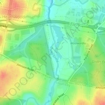
Name: Oxley Creek topographic map, elevation, terrain.
Location: Oxley Creek, Brisbane, Queensland, 4118, Australia (-27.65656 152.99782 -27.63982 153.00050)
Average elevation: 36 m
Minimum elevation: 12 m
Maximum elevation: 71 m
Queensland trails, hiking, mountain biking, running and outdoor activities
Other topographic maps
Click on a map to view its topography, its elevation and its terrain.