
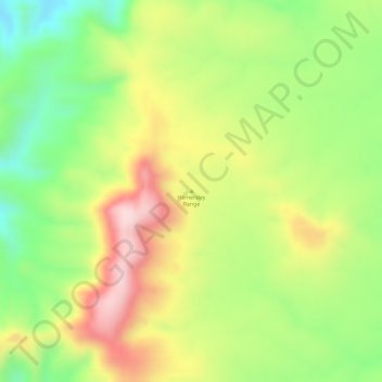
Hamersley Range topographic map
Interactive map
Click on the map to display elevation.
About this map
Name: Hamersley Range topographic map, elevation, terrain.
Location: Hamersley Range, Western Australia, Australia (-21.87293 116.79331 -21.87283 116.79341)
Average elevation: 511 m
Minimum elevation: 366 m
Maximum elevation: 657 m
Western Australia trails, hiking, mountain biking, running and outdoor activities
Other topographic maps
Click on a map to view its topography, its elevation and its terrain.
Cape Range National Park
The Cape is the only elevated plateau composed of limestone on the North West Coast. The range has plateaus to an elevation of 314 metres (1,030 ft) and forms the backbone of the peninsula which extends as far as North West Cape.
Average elevation: 55 m