
Moggill Creek topographic map
Interactive map
Click on the map to display elevation.
About this map
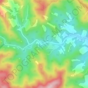
Name: Moggill Creek topographic map, elevation, terrain.
Location: Moggill Creek, Ipswich, Queensland, Australia (-27.47338 152.83475 -27.47228 152.83681)
Average elevation: 205 m
Minimum elevation: 99 m
Maximum elevation: 376 m
Queensland trails, hiking, mountain biking, running and outdoor activities
Other topographic maps
Click on a map to view its topography, its elevation and its terrain.