
Kuta topographic map
Interactive map
Click on the map to display elevation.
About this map
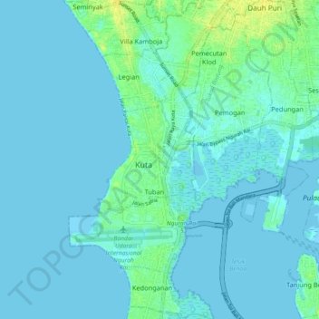
Name: Kuta topographic map, elevation, terrain.
Location: Kuta, Badung, Bali, Lesser Sunda Islands, Indonesia (-8.77074 115.15071 -8.68210 115.19268)
Average elevation: 3 m
Minimum elevation: -2 m
Maximum elevation: 17 m
Other topographic maps
Click on a map to view its topography, its elevation and its terrain.