Geolocate

Cooloolabin topographic map

Interactive map

Click on the map to display elevation.

About this map

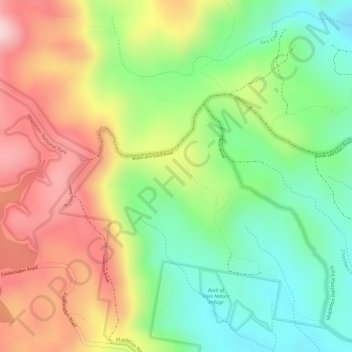
Name: Cooloolabin topographic map, elevation, terrain.

Location: Cooloolabin, Maroochydore, Queensland, 4561, Australia (-26.55000 152.89111 -26.53000 152.91111)

Average elevation: 202 m

Minimum elevation: 67 m

Maximum elevation: 351 m

Queensland trails, hiking, mountain biking, running and outdoor activities

Other topographic maps

Click on a map to view its topography, its elevation and its terrain.

Maroochy River

Australia > Queensland > Maroochydore

Average elevation: 3 m

Mountain Creek

Australia > Queensland > Maroochydore

Average elevation: 6 m

Coolum Creek

Australia > Queensland > Maroochydore

Average elevation: 7 m

Mooloola River

Australia > Queensland > Maroochydore

Average elevation: 3 m

Coolum Creek

Australia > Queensland > Maroochydore

Average elevation: 3 m

Kidaman Creek

Australia > Queensland > Maroochydore

Average elevation: 179 m

Eudlo Creek

Australia > Queensland > Maroochydore

Average elevation: 7 m